


RETORD: LES BERGONNES - FERME DE RETORD

djeepee74
User
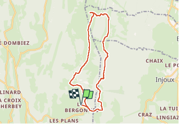

Length
15.5 km

Max alt
1351 m

Uphill gradient
383 m
Km-Effort
21 km

Min alt
1143 m

Downhill gradient
383 m
Boucle
Yes
Creation date :
2025-07-22 06:59:47.668
Updated on :
2025-07-23 08:01:21.81
4h40
Difficulty : Very difficult

FREE GPS app for hiking
 SityTrail
IGN / Geographical institutes
SityTrail Plus
The world is yours!
About
Trail Walking of 15.5 km to be discovered at Auvergne-Rhône-Alpes, Ain, Haut Valromey. This trail is proposed by djeepee74.
Description
Rando facile sur une idée de Jean-Paul Paget (Manet)
BOUCLE... live du 20250722
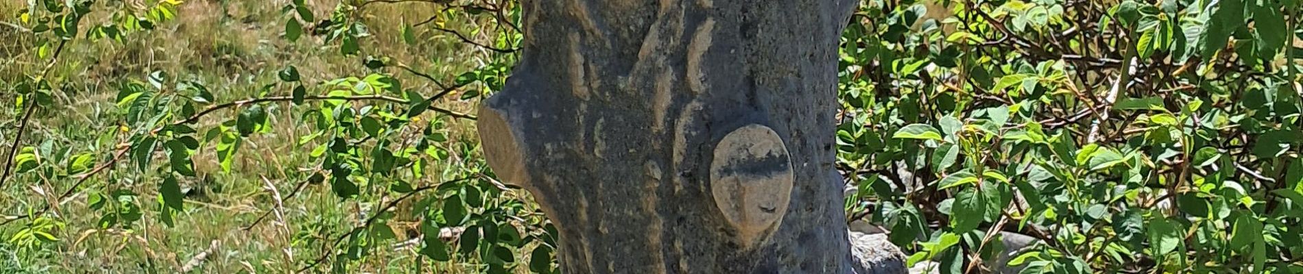
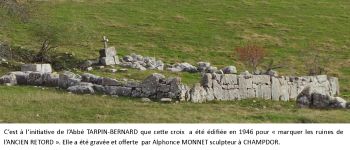
Photos


Positioning
Country:
France
Region :
Auvergne-Rhône-Alpes
Department/Province :
Ain
Municipality :
Haut Valromey
Location:
Hotonnes
Start:(Dec)
Start:(UTM)
709870 ; 5102728 (31T) N.
Comments